Project 03 / Web3D / 2025
Orbital Atlas
Self-initiated studyA near-Earth object atlas that makes 1,248 pieces of orbital data feel like a night sky you can scrub through.
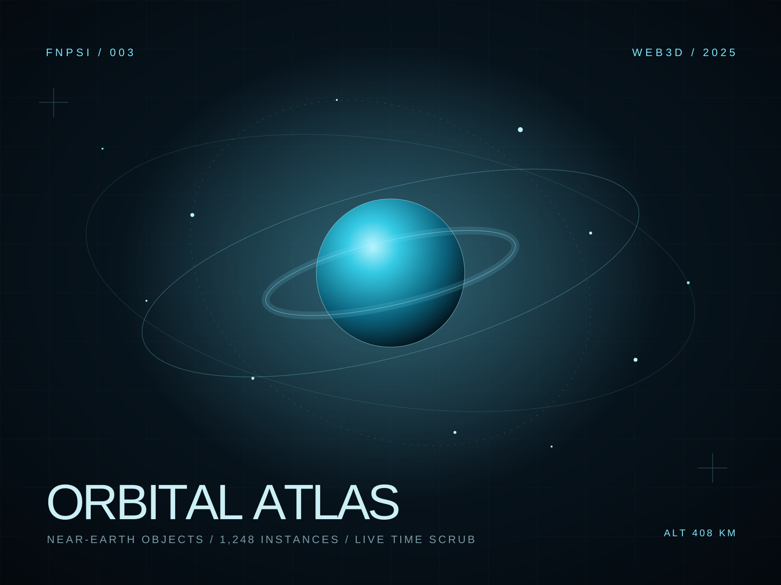
01 / Brief
Make the numbers feel like a sky.
Public orbital data is dense, beautiful, and almost impossible to read. Orbital Atlas is an attempt to make it physical. The brief: build a browser tool that lets someone understand scale, distance, and time without reading a single table.
The audience is curious, not necessarily scientific. The interface needed to reward a five-second visit and still hold up for someone who wants to inspect a single object's path.
02 / Approach
Keep the numbers close to the surface.
Each object is an instanced point with its own orbital path, altitude, and velocity. A time scrubber moves the whole system through a 24-hour window. The camera can pull back to a full system view or lock onto a single object.
Labels are HTML, not canvas, so they stay crisp and accessible. A custom shader fades orbit trails with age and altitude, giving the field depth without a heavy post-processing stack.
“Scale is a feeling before it is a number.”
03 / Build
One scene, a thousand paths.
The renderer uses GPU instancing for the object field and a separate line pass for orbit trails. A custom shader fades the trails with age and altitude. The interface is keyboard-accessible: arrow keys move time, and the search field jumps to an object.
Data is bundled at build time, so there are no API keys or live network dependencies. The scene degrades to a flat map on devices without WebGL and respects reduced-motion preferences.
- 011,248 instanced near-Earth objects.
- 02A 24-hour time scrubber with keyboard controls.
- 03Search and focus mode for individual orbits.
- 04Bundled public data with no API keys.
NEO
1248
24H
WINDOW
PATH
TRACE
04 / Outcome
What it leaves behind.
The atlas is a study in scale, not a mission-planning tool. It shows what public orbital data could feel like if it were treated as a place rather than a table. A production version would need live data, a proper ephemeris model, and a much longer onboarding story.